2022 - Toronto ON
The origin of Toronto lane names is a new hobby of mine that started in 2020 as a way of getting out safely during the pandemic.
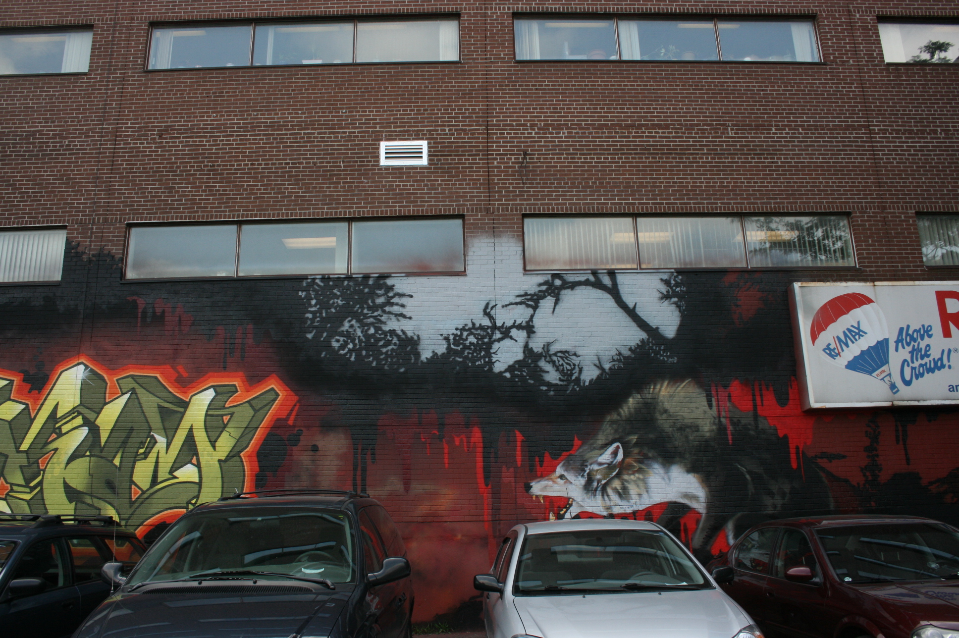
It is often said that Toronto is a city of neighbourhoods. But running through them are the 3,000 laneways that intersect rows of houses and stretches of shops.
Once paths for coal delivery and cinder removal, these lanes now serve as shortcuts for motorists, pedestrians and skateboarding teens, as well as conduits for some of Toronto’s seldom-told history.
About 10 per cent of the 3,000 lanes are named, mostly by residents who nominated a person — and in several cases, a horse — those who made a contribution to the city as it is known today.
Named lanes are better for emergency vehicles as well as delivery services such as food and parcels.
Click on links to discover the origins of the names. Updates ongoing.
Some neighbourhoods I mention are not on this map, I will attempt to figure out where they fit until I find a better map.
A commenter asked about the name Cabbagetown so I thought I should include the neighbourhoods as well so I have rearranged the list below by neighbourhood.
CABBAGETOWN
Cabbagetown's name derives from the Irish immigrants who moved to the neighbourhood beginning in the late 1840s, said to have been so poor that they grew cabbage in their front yards. Canadian writer
Hugh Garner's novel, Cabbagetown, depicted life in the neighbourhood during the Great Depression.
Garner, Sirman Lanes
CORKTOWN
QUEEN ST. WEST (Trinity-Bellwoods)
HARBORD VILLAGE
Harbord Village is a neighbourhood in Toronto. It lies just to the west of the University of Toronto, with its most commonly accepted borders being Bloor Street on the north, Spadina Avenue on the east, College Street to the south, and Bathurst Street to the west.
The area was primarily opened up for development around 1870, with the initial construction of modest working class houses. Somewhat grander middle class houses began to appear in the late 1880s and 1890s, after a local school had been built and the city had completed paving the streets and installing water and sewer lines. These predominantly Bay and Gable semi-detached houses dominate the current streetscape.
Like most 19th century Torontonians, the initial residents were dominated by immigrants from Great Britain. In the years after WWI the neighbourhood gradually became less desirable and more heterogeneous. By the 1930s it had become the home of many immigrants from other parts of the world, including many Eastern European Jews who transformed several of the residences and churches into synagogues (including the First Narayever Congregation which continues to the present day). They, along with the Black residents, faced considerable discrimination renting or buying homes in more affluent Toronto neighbourhoods. As the neighbourhood transitioned into an immigrant reception area, many of the formerly single family houses became shared by two families, and boarders. Subsequent waves of immigration altered the demographics of the area, with many Hungarians arriving following the failed revolution in 1956, and Portuguese in the 1960s and 70s.
SEATON VILLAGE
Seaton Village is a neighbourhood and former village located west of Downtown Toronto. It is named after John Colborne, 1st Baron Seaton, Lieutenant-Governor of
Upper Canada from 1828 to 1836. Seaton Village is bordered by Bloor Street to the south, the Canadian Pacific Railway tracks to the north, Christie Street to the west, and Bathurst Street to the east. Officially, it is an enclave within The Annex neighbourhood, as defined by the City of Toronto. It is sometimes referred to as the West Annex. While Seaton Village shares several characteristics with the Annex (notably its architecture and its popularity with University of Toronto students), it is often perceived as a quieter, family-oriented neighbourhood with smaller, less expensive homes. The Koreatown shopping district is at its southern border.
LITTLE ITALY
Little Italy, sometimes referred to as College Street West, is known for its Italian Canadian restaurants and businesses. There is also a significant Latin-Canadian and Portuguese-Canadian community in the area. The district is centred on a restaurant/bar/shopping strip along College Street, centred on College Street, imprecisely between Harbord Street and Dundas Street, and spreading out east and west between Bathurst Street and Ossington Avenue. It is contained within the larger city-recognized neighbourhood of Palmerston-Little Italy.
LITTLE PORTUGAL
COLLEGE WEST
DOWNTOWN West
ENTERTAINMENT/FASHION DISTRICT
CHINATOWN - SPADINA
The first Chinese resident on record in Toronto was Sam Ching the owner of a hand laundry business on Adelaide Street in 1878. Though immigration to Canada directly from China was restricted after 1885 Ching was eventually joined by Chinese men who migrated from western Canada after helping to build the transcontinental Canadian Pacific Railway.
Between 1900 and 1925 Toronto's first Chinese community took shape here around Elizabeth Street which once ran all the way south to Queen Street. ‘Chinatown' was a bustling commercial and residential area that included restaurants grocery stores and traditional clan associations.
This plaque is at City Hall Queen St. West
Ching Lane is downtown.
This first Chinatown thrived until the late 1940s when the City of Toronto began its controversial expropriation of much of the neighbourhood to make room for a new City Hall and Nathan Phillips Square. Demolition finally took place in 1955. Some Chinese businesses could not afford to re-locate and closed. Others packed up and moved west along Dundas Street to Spadina Avenue where they became the heart of today's ‘Old Chinatown'.
Chinatown Murals
KENSINGTON MARKET
One of my favourite places in the city to wander among its eclectic offerings.
Kensington Market is an open-air food and clothing market in downtown Toronto. This multicultural marketplace is known for its independent spirit, colourful shop fronts, vibrant murals, charismatic locals and people-friendly Pedestrian Sundays events. The eclectic businesses located here sell fresh produce, cheese, meats, bread and desserts, bulk spices, nuts, flowers, marijuana and vintage clothing. The area also teems with a variety of restaurants, cafés and bars. The shops in Kensington Market spill out onto the sidewalk, giving the area a vibrant street culture unique to the city of Toronto.
Grimsby Dairy Lanes
YONGE/EGLINGTON
ST. CLAIR WEST
EASTEND/DANFORTH
RIVERSIDE
Riverside BIA is located along Queen Street east from the Bridge (at west) to Empire Ave (just past De Grassi Street)
DISTILLERY DISTRICT
HARBOURFRONT
HUMBER BAY/LAKE SHORE
OUT OF TOWN